This day of the Oman road trip was the day I had been looking forward to the most. My wife however didn’t share this feeling as she has fear of heights. We visited first the two most important forts in the area: Nakhal & Rustaq fort. Around noon we started our dangerous off-road adventure through the Hajar Mountains. It was a unique adventure and experience which I’m glad I did. Join me on this journey and decide yourself: are you up to it?
Nakhal Fort
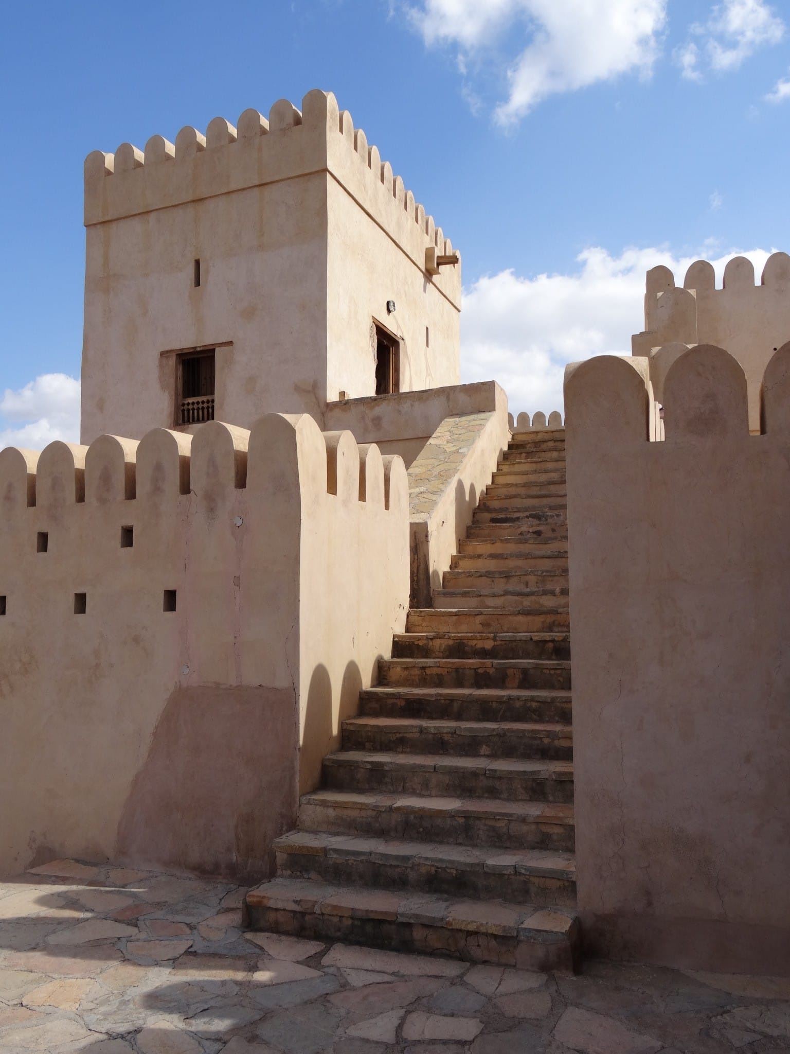
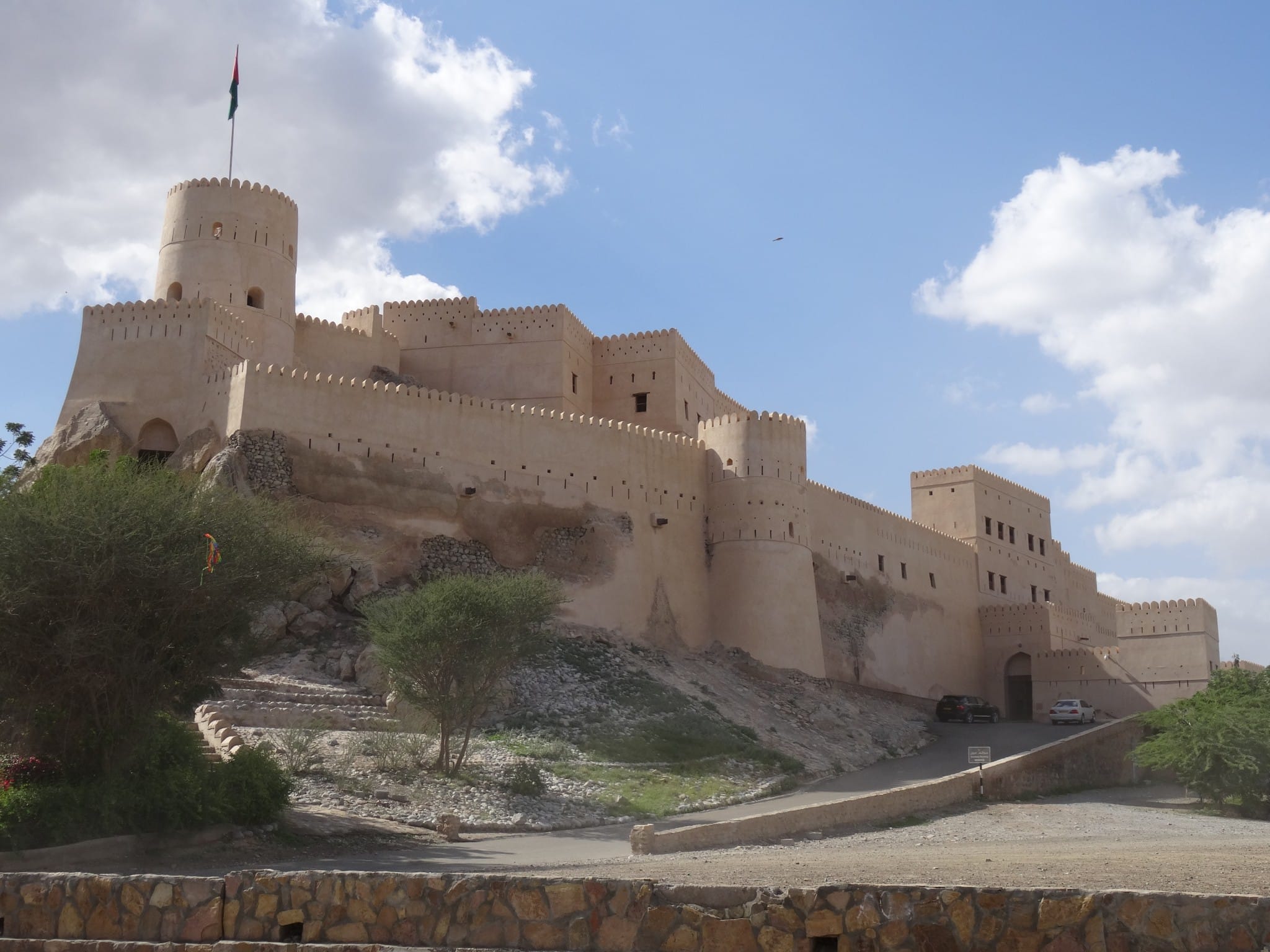
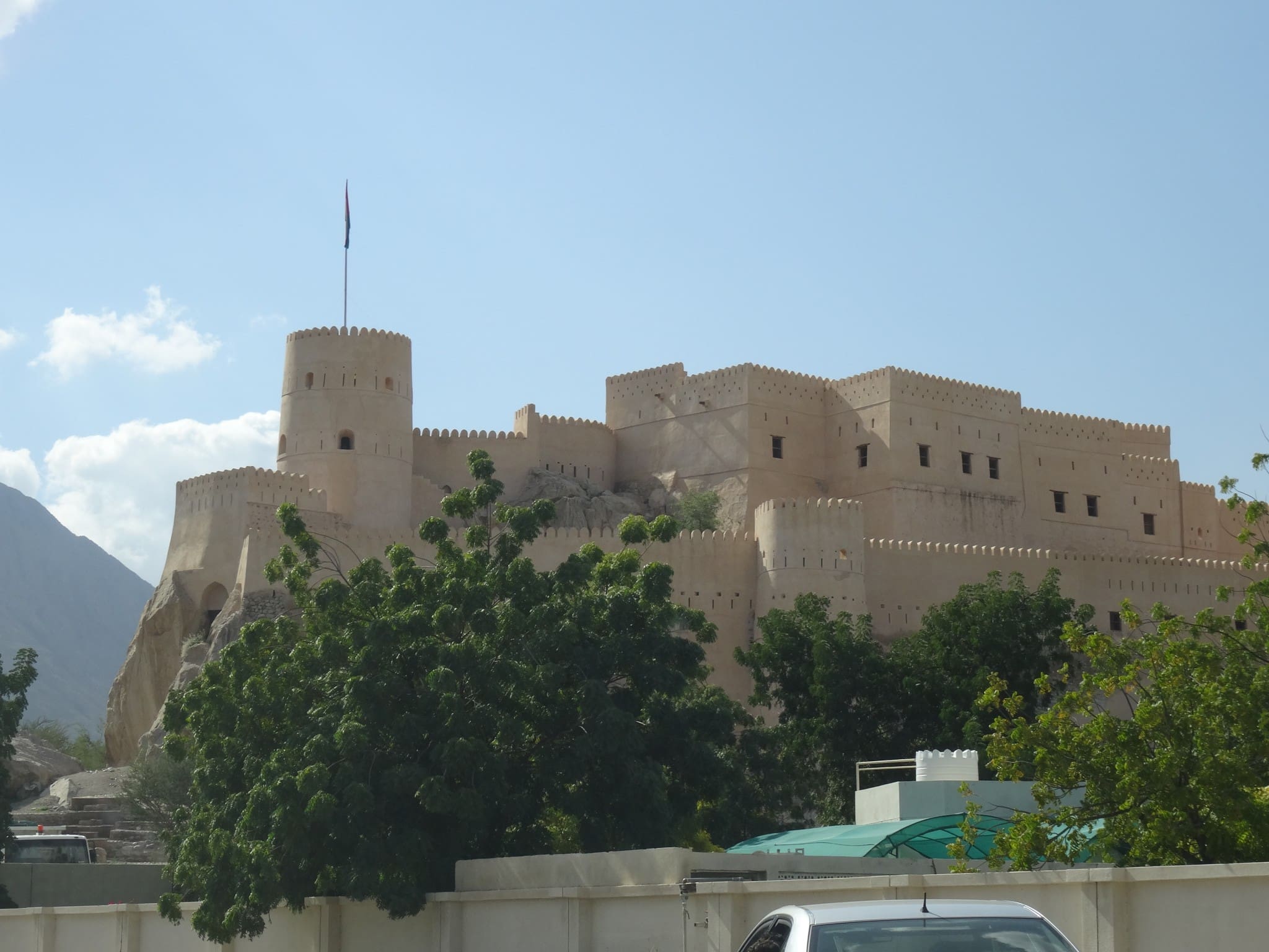
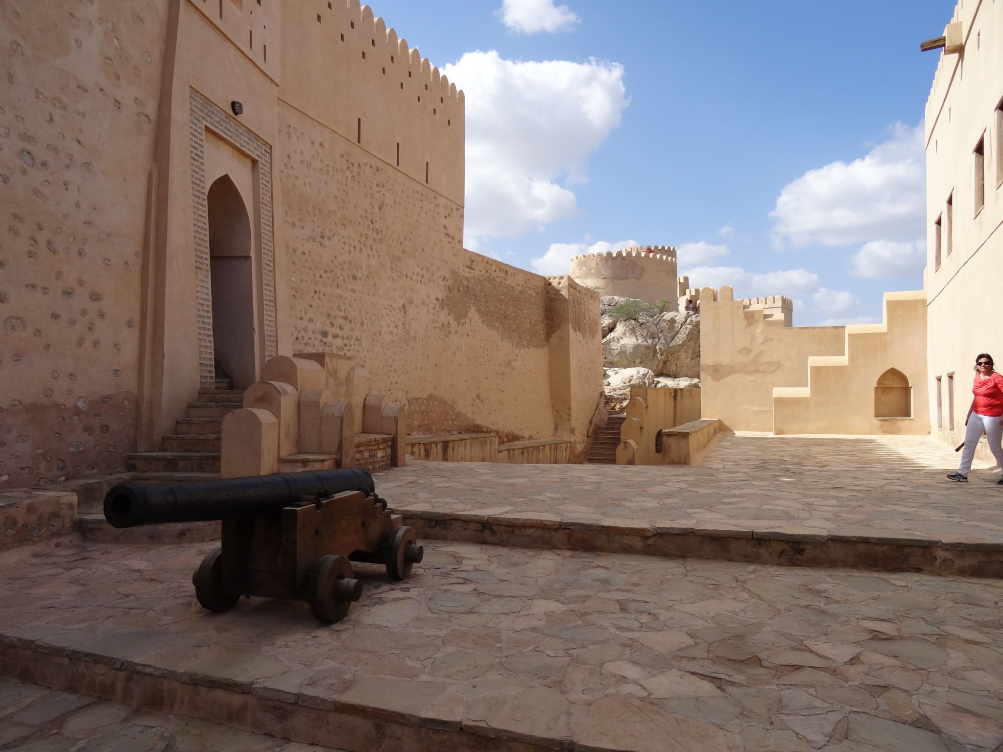
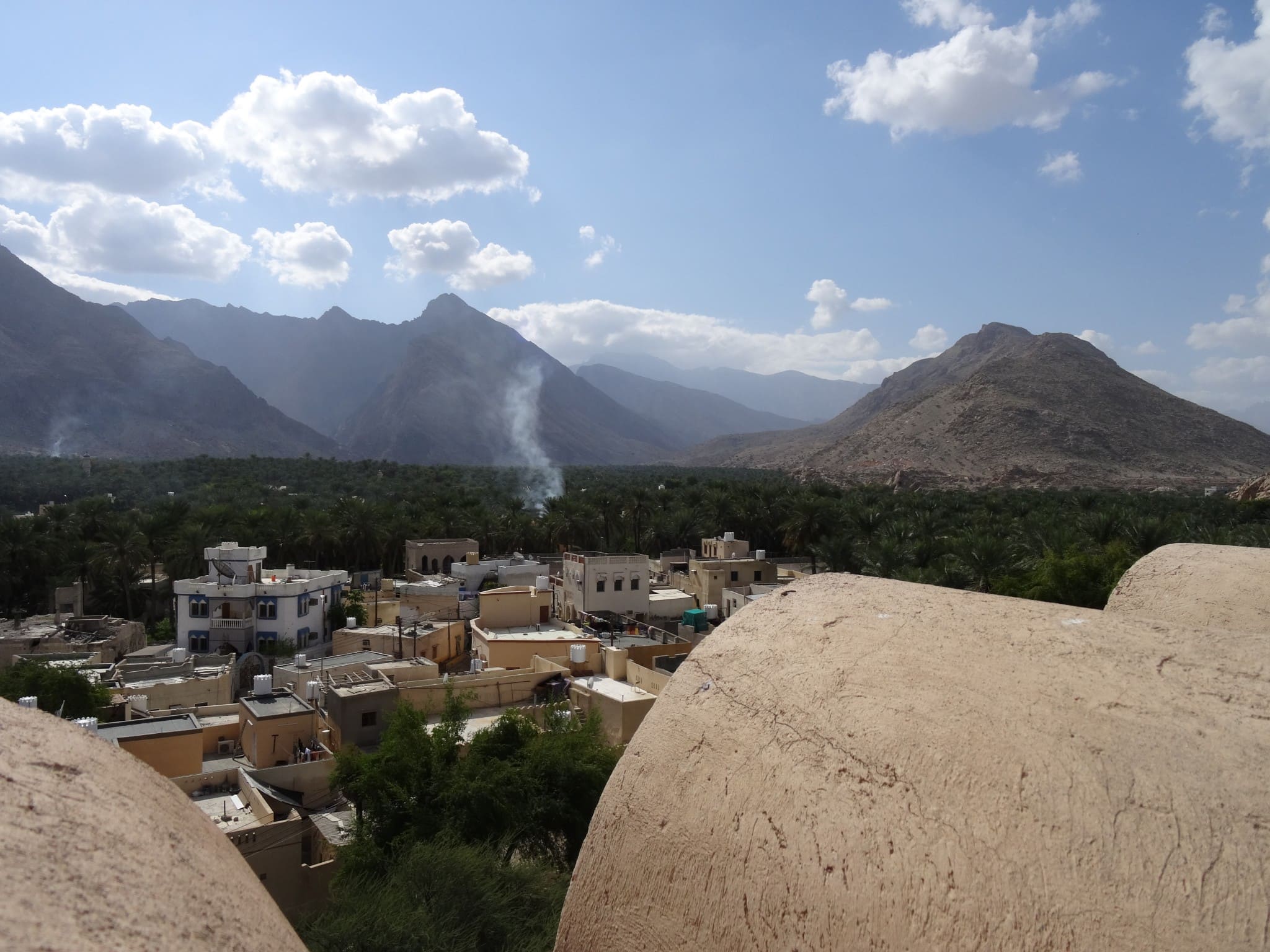
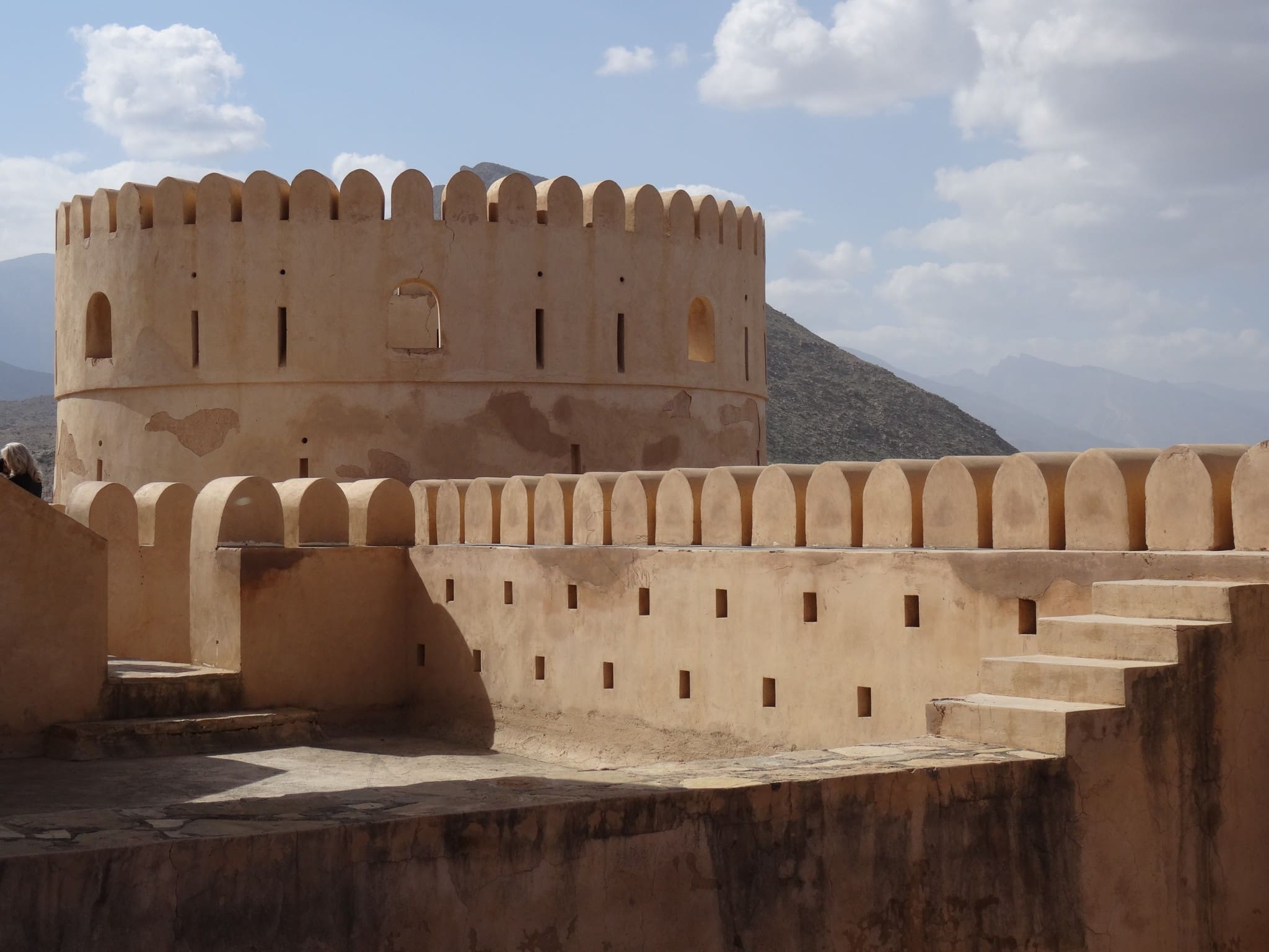
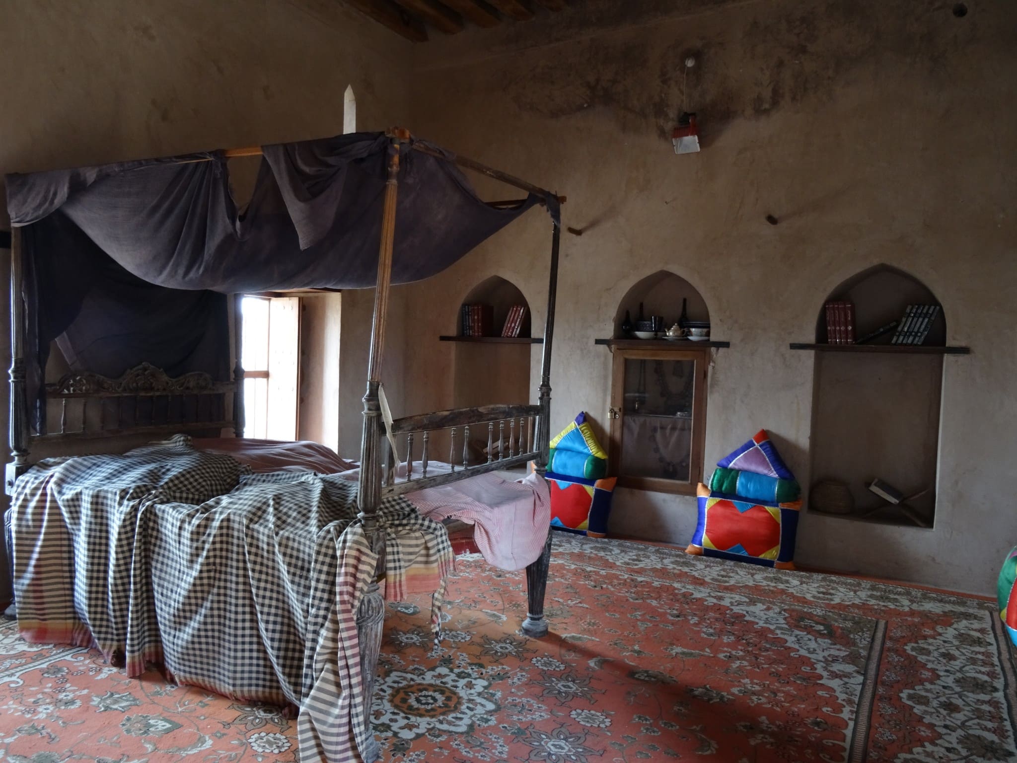
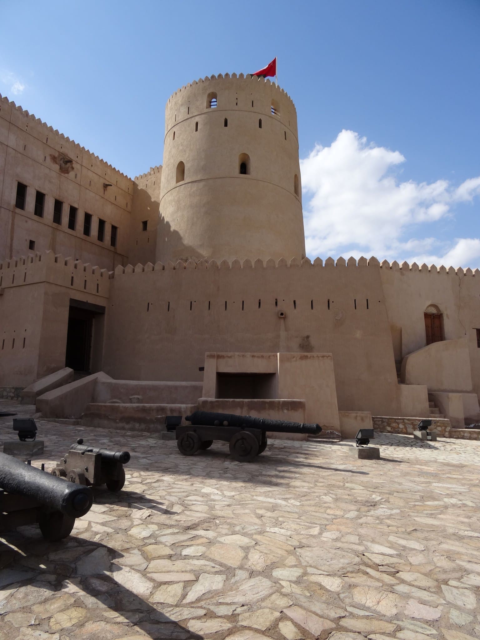
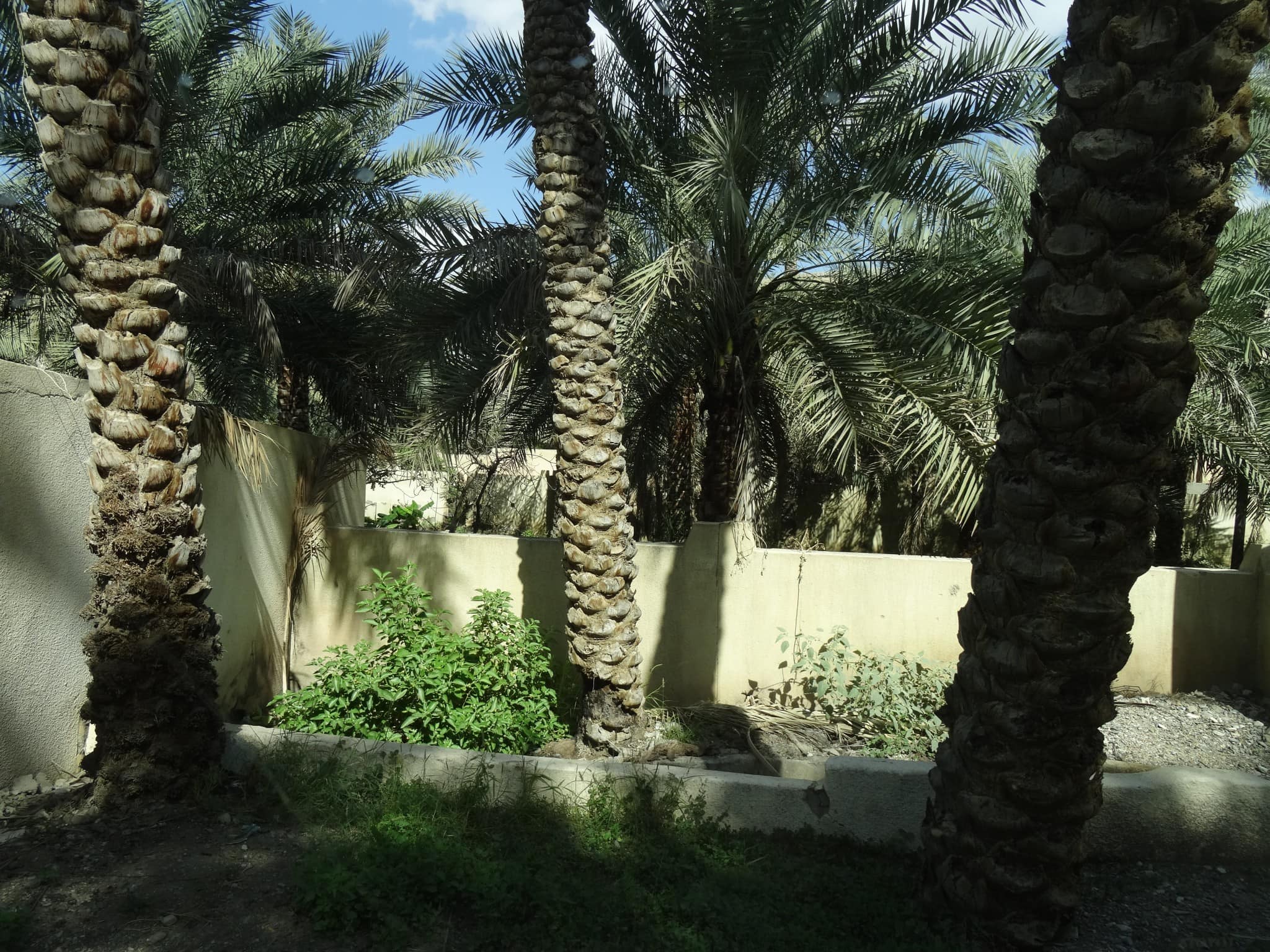
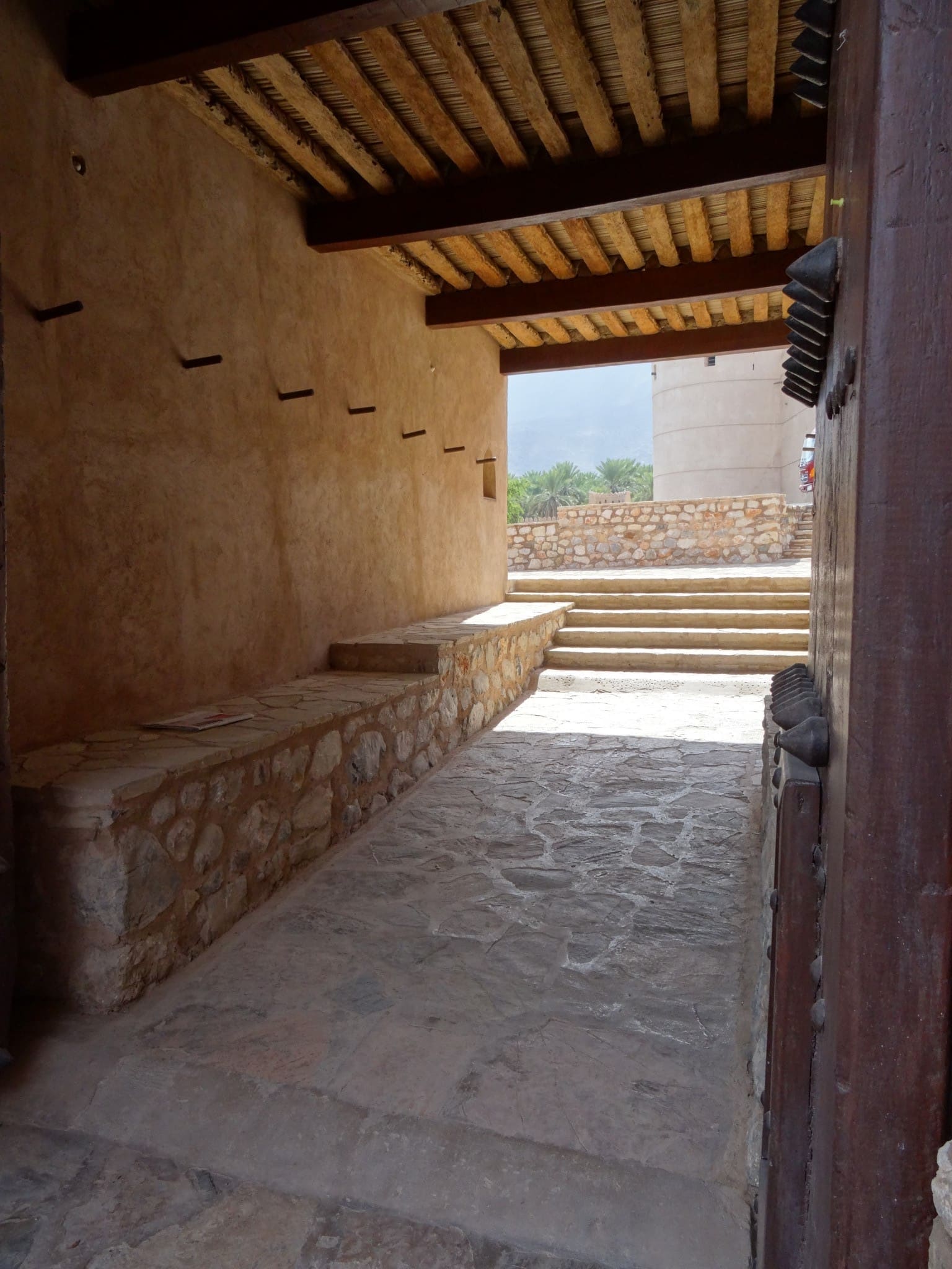
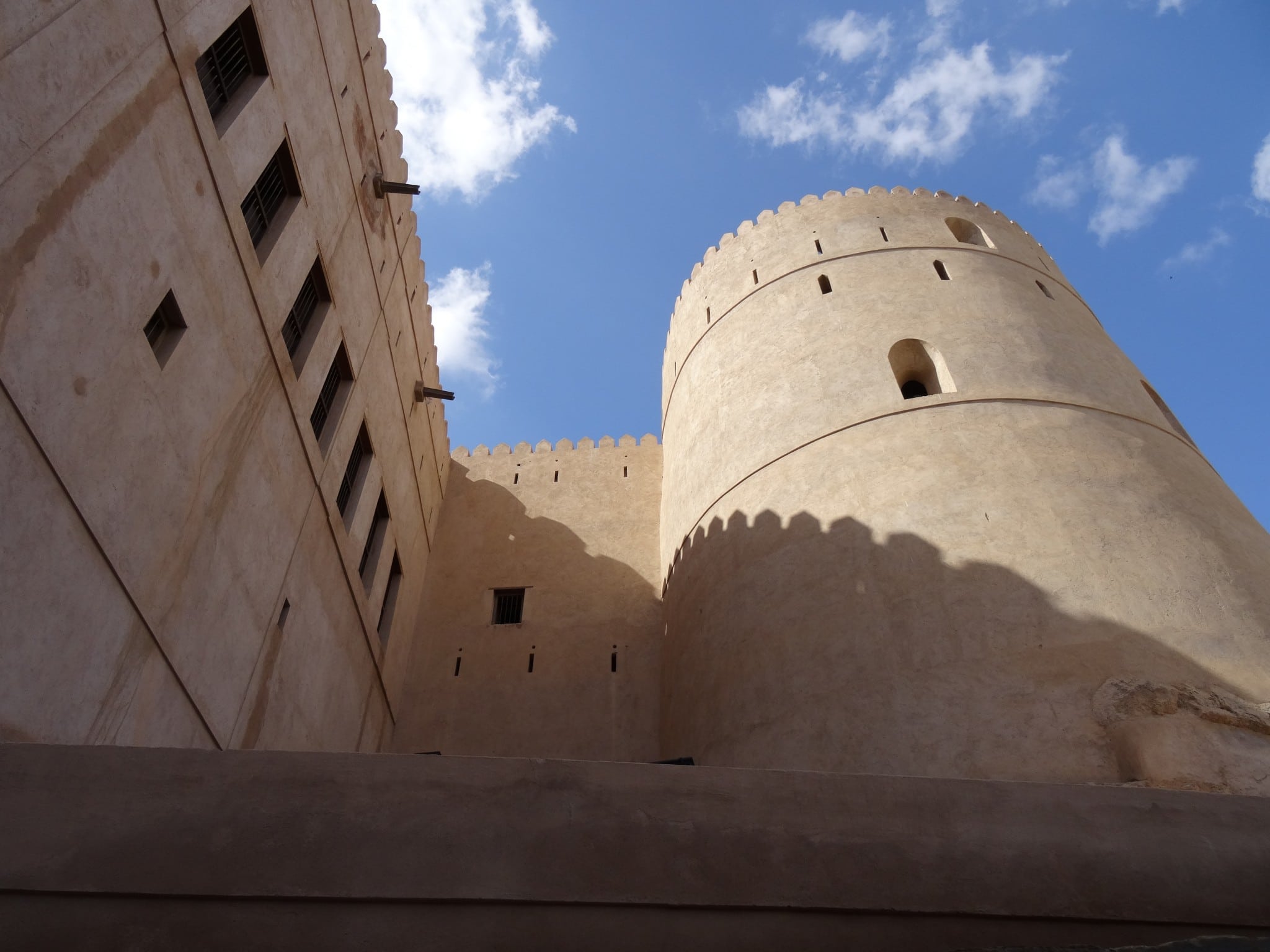
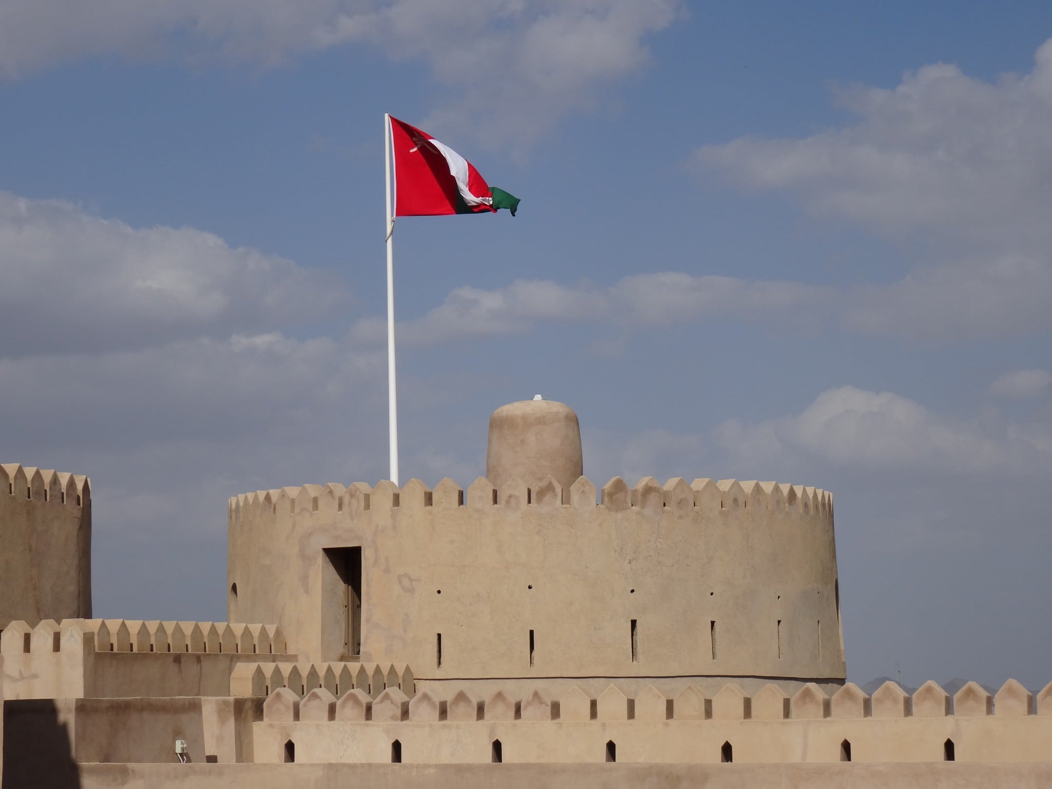
Nakhal Fort is located at the foot of the Hajar Mountains about 120 kilometers from Muscat (at coordinates N23.394819, E57.829787) and should be on everyone’s itinerary in Oman. We started driving early morning around 08:00 from Muscat and arrived at the fort around 09:30. Nakhal Fort dates back to the pre-Islamic era but has been rebuilt and extended several times. The last extension was made in 1834 by Imam Said bin Sultan. It’s built on a small hill giving it good sight towards all directions. The purpose of the fort was to protect trade routes passing through Nakhal village which can still be seen at the foot of the hill. The area is rich of hot springs and has an abundance of water. All these factors contributed to the growth of Nakhal and its large stretches of lush green palm trees around it. At the fort there is a large collection of cannons and guns; the kids loved this. This fort shows how the area developed and why it was an important place on the trade routes. A fort you must visit if you are in Oman.

Rustaq Fort
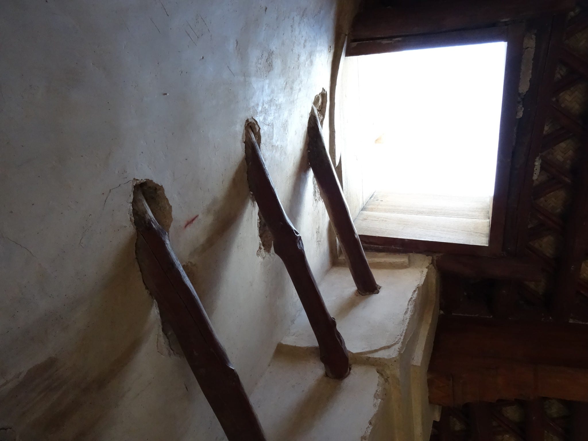
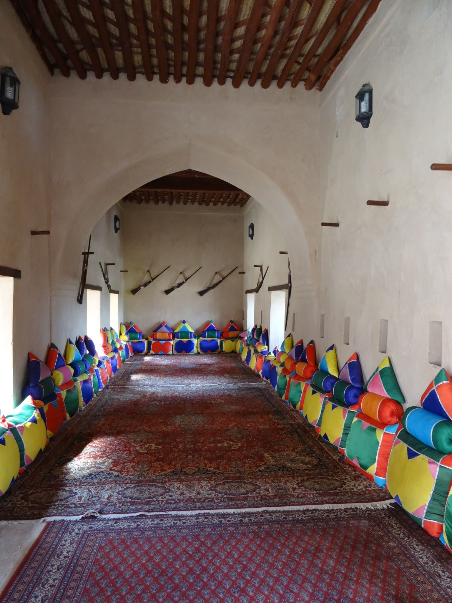
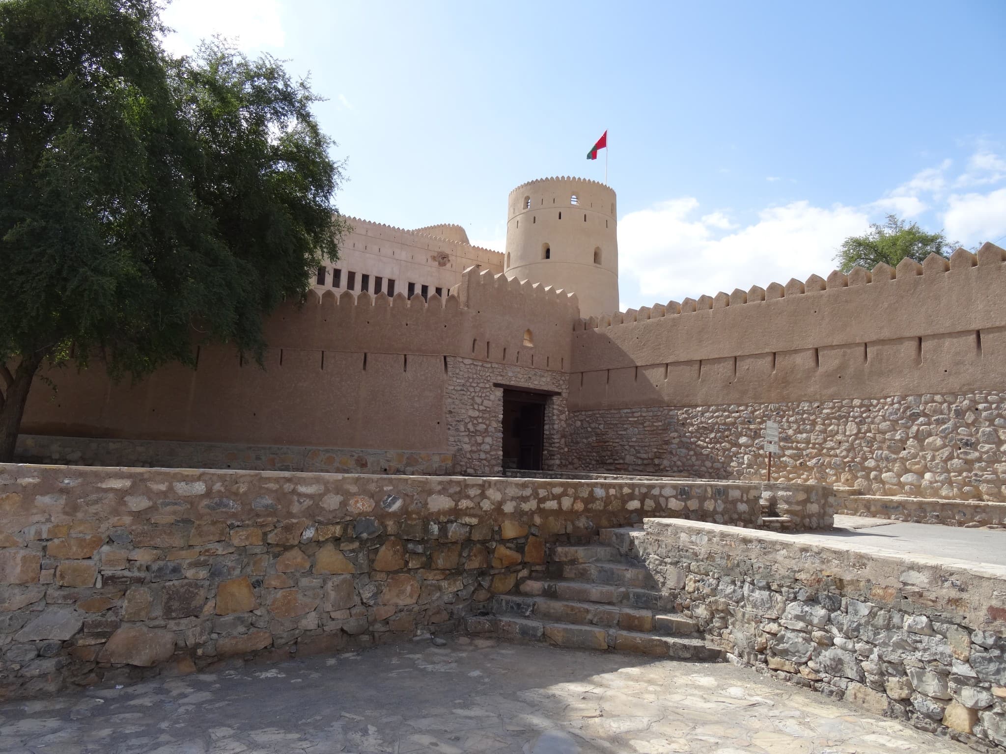
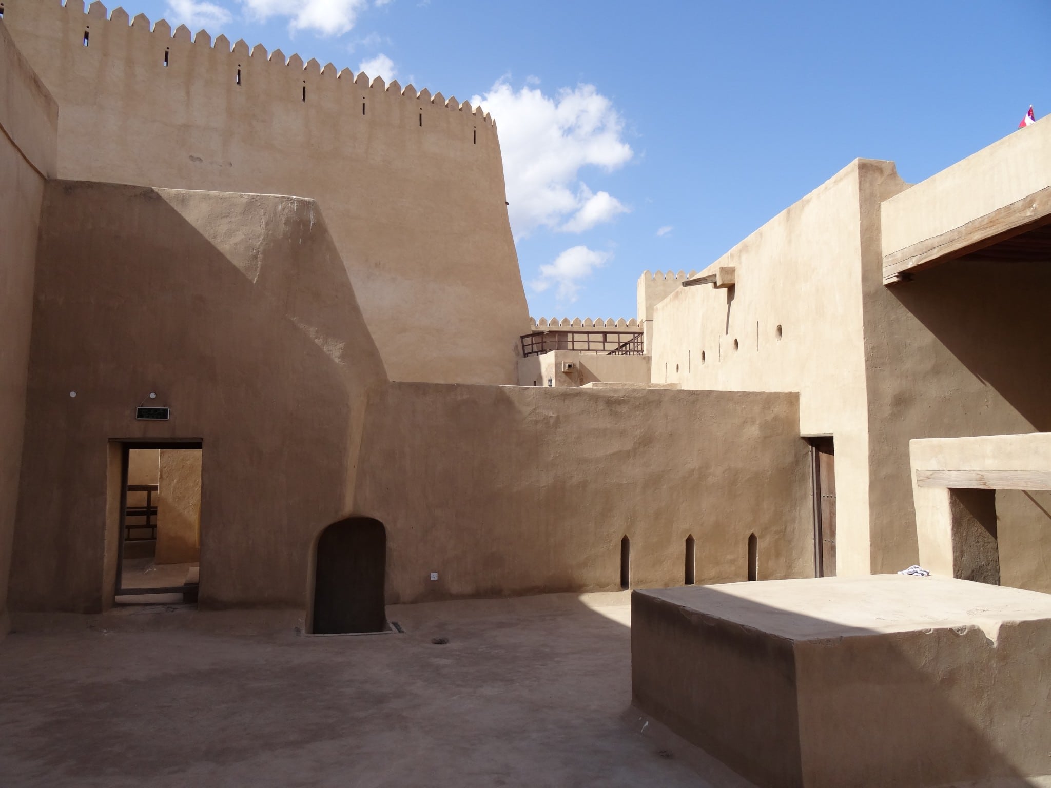
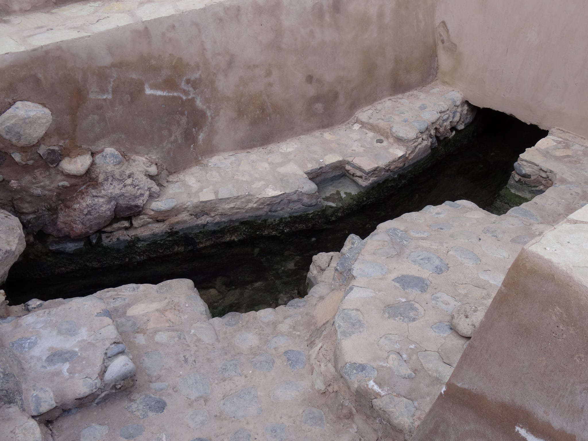
The reason we visited Rustaq Fort was because it was once the capital of Oman. Its fort is located within the city and is very large but quite empty (coordinates of the fort are N23.390747, E57.425654). It’s location is a bit more north in comparison with Nakhal fort but it also lies at the foot of the Hajar Mountains. Our visit was in December of 2013 and it seemed the fort was under renovation. We could not find an official entrance and just walked inside. To be honest I do not know if it was official open at that time. The fort is a fine example of Omani Islamic architecture. There are so many rooms to explore that you might even get lost. It has three levels with rooms that served as armory, housing, shops and an even a mosque. The area is, like Nakhal, rich in water and hot springs and therefore a key place. The area around Rustaq is most famous for trading of fruits and honey amongst other things. As all the rooms were empty we finished the visit in about 45 minutes. We continued to the start of the Wadi Bani Awf which would lead us through the Hajar Mountains.

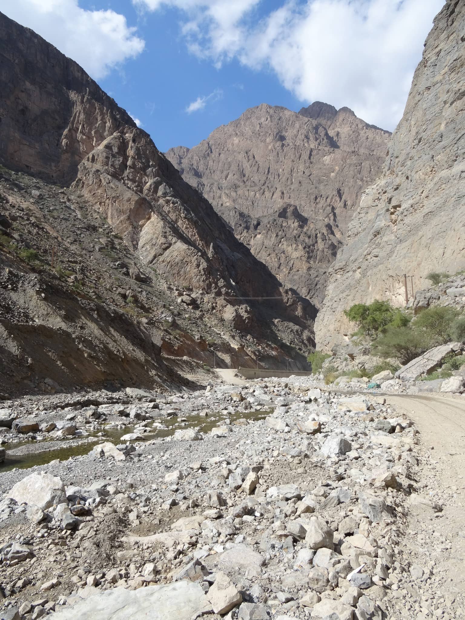
Off-road through the Hajar Mountains
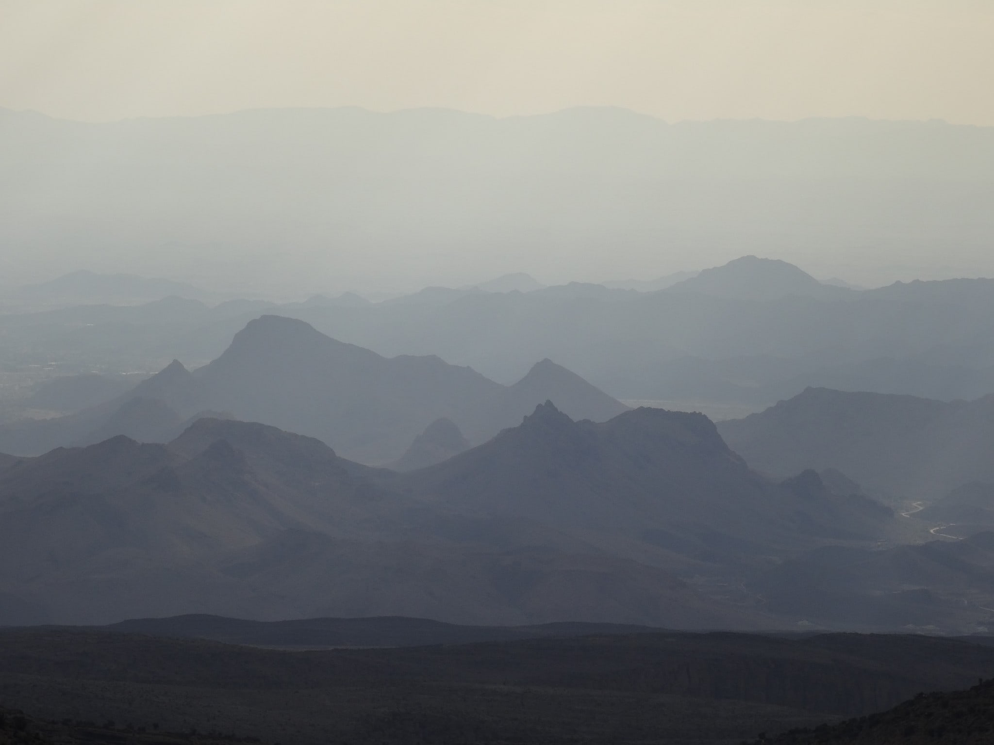
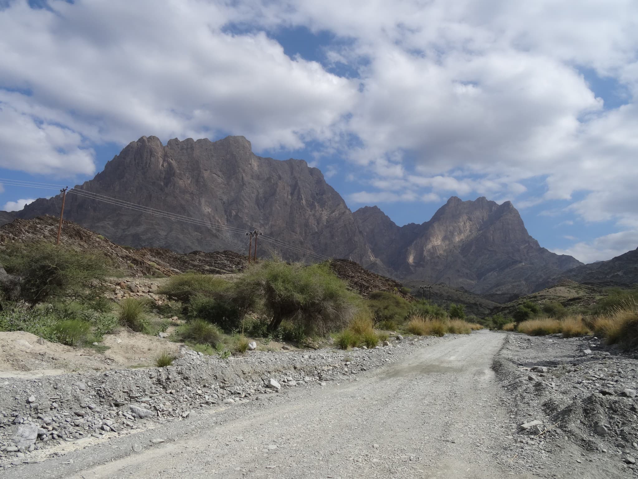
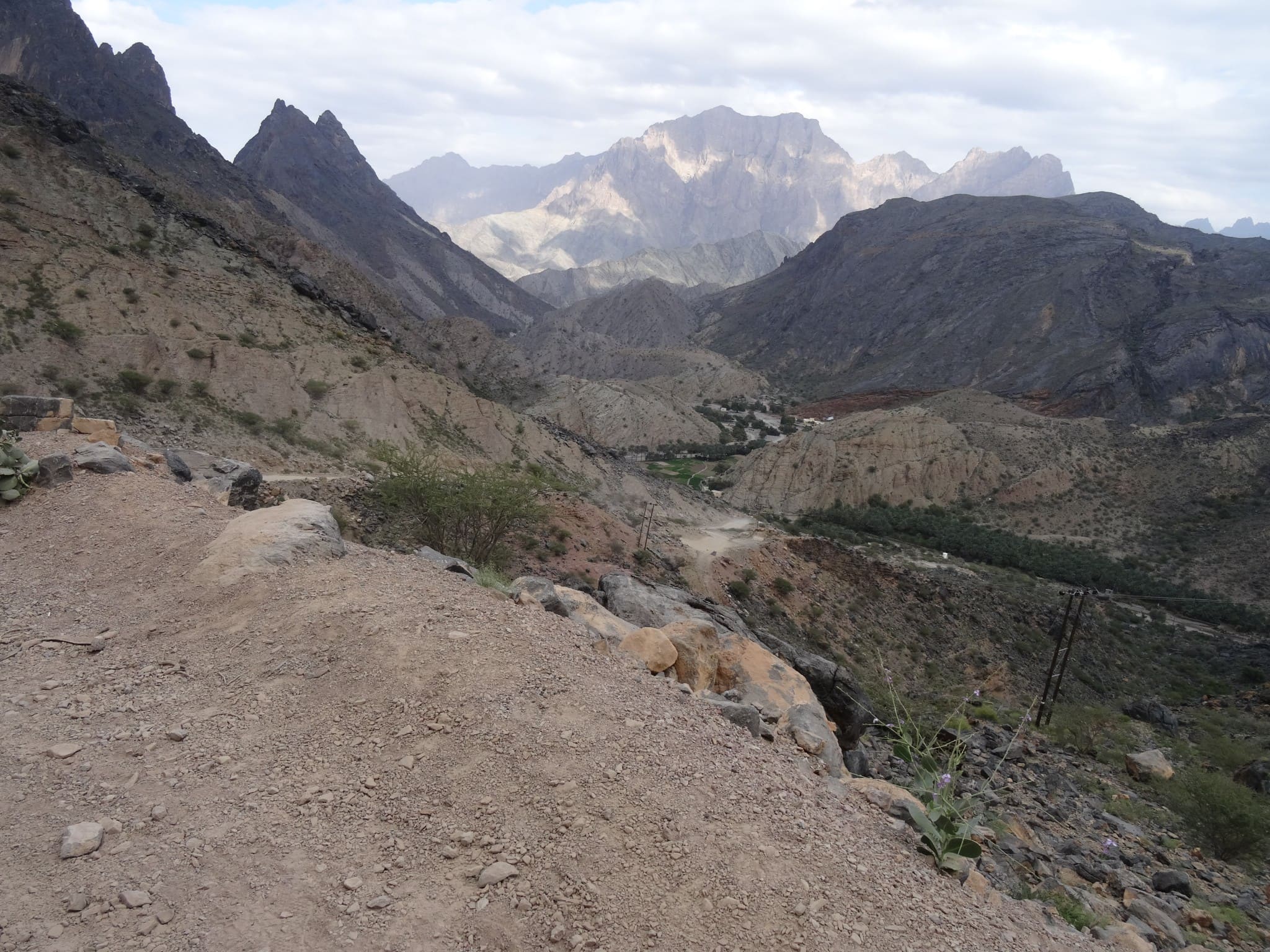
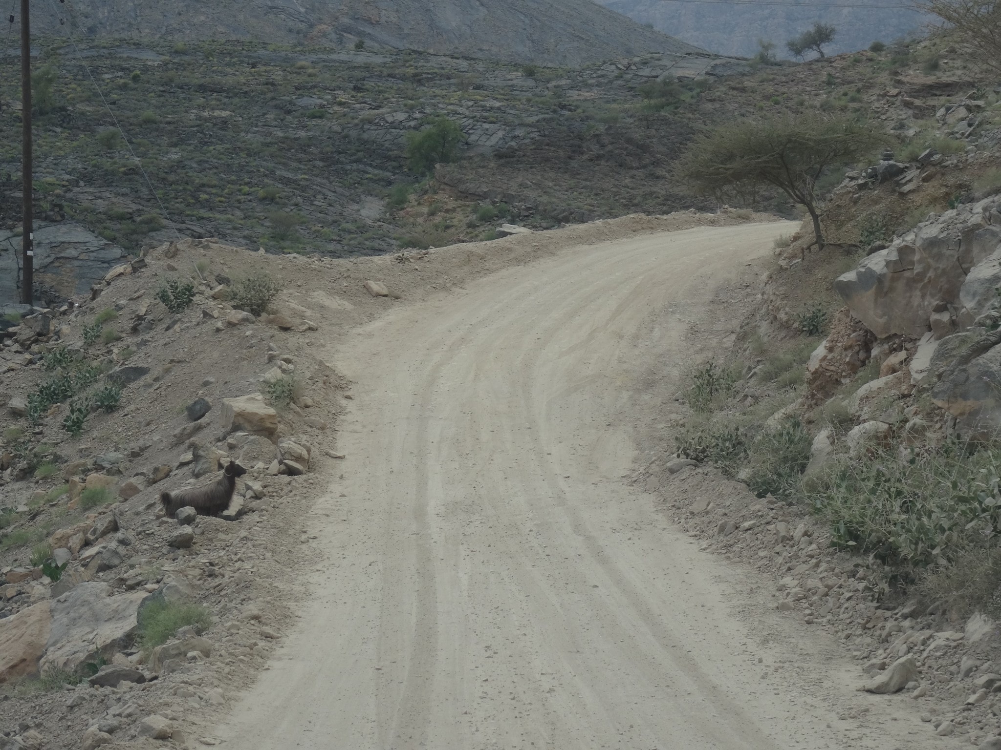
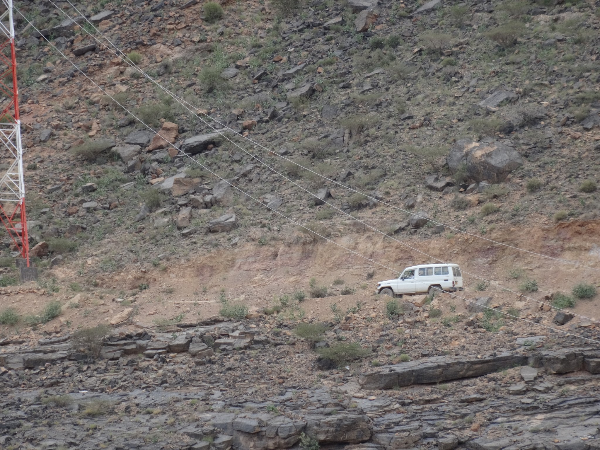
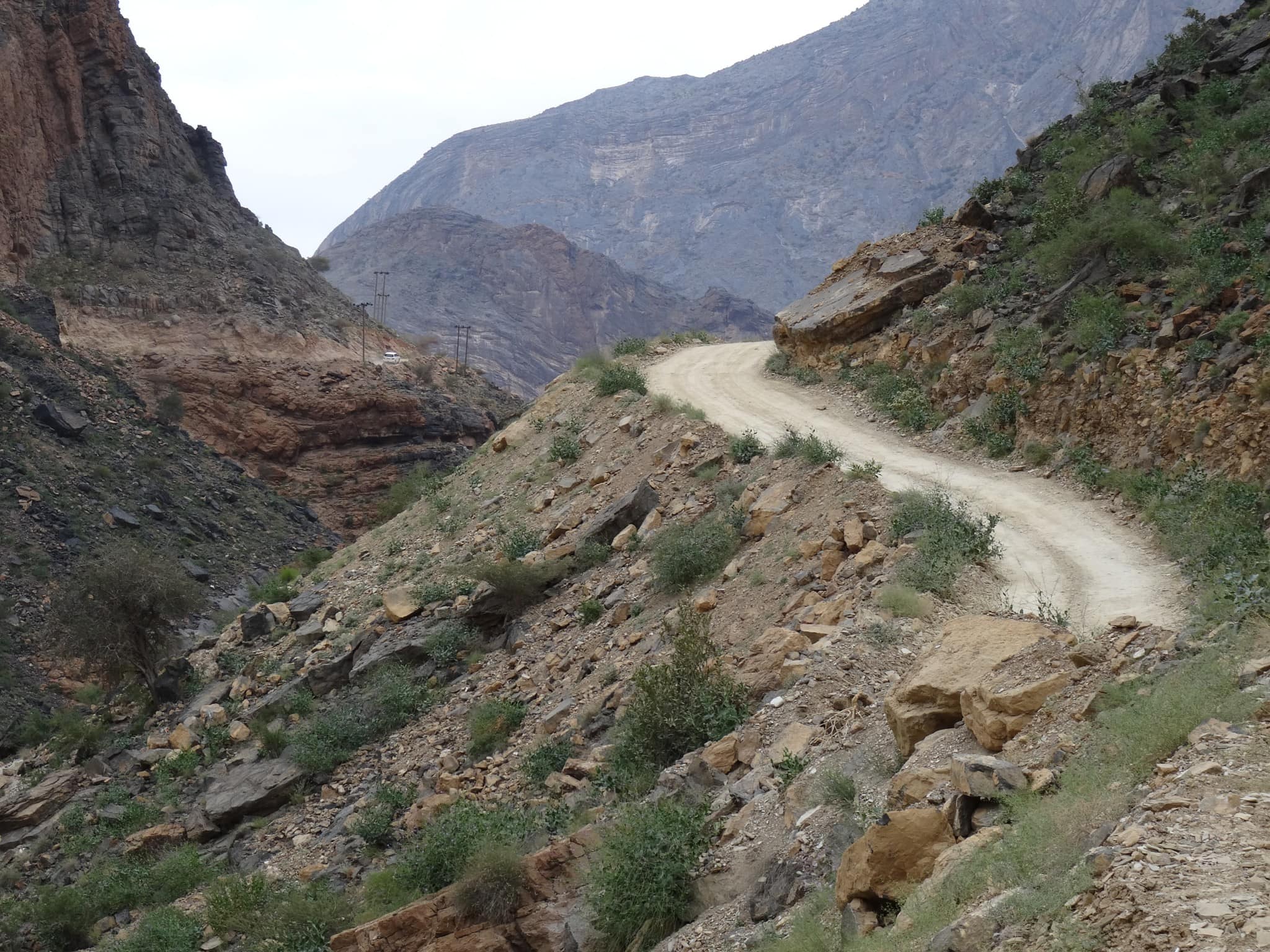
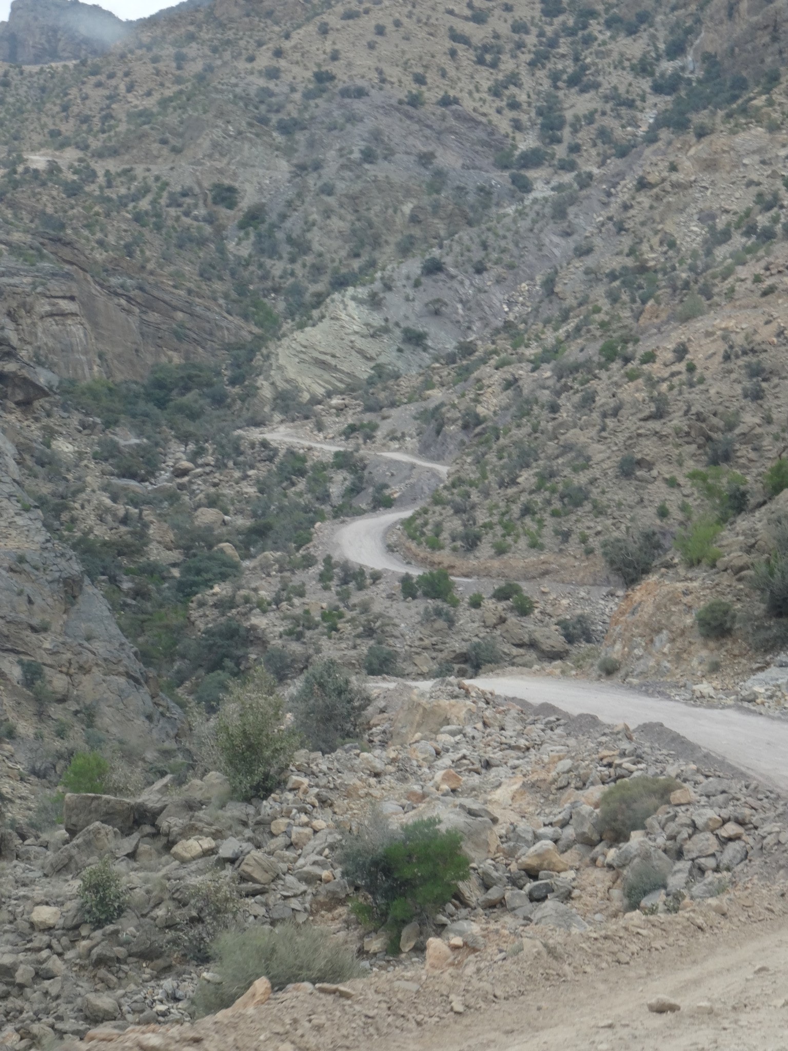
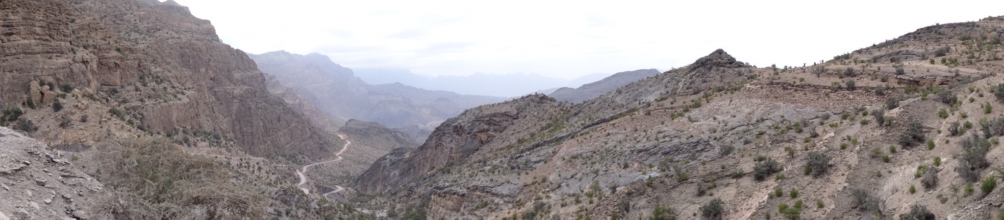
There are a few things to keep in mind if you decide to drive through the Hajar Mountains. The best and most scenic route is through the Wadi Bani Awf towards Al Hamra. Make sure you take enough water, a spare tire, filled up gas tank and make sure you drive in a 4×4. The weather is also important because if there is rain coming this will flush the wadi. This flooding will change the wadi into a raging torrent that takes your car as if it was a box of matches. Do not drive this route when there is rain coming. From the Rustaq fort we drove towards the entrance of the Wadi Bani Awf (coordinates N 23.341944; E 57.493056). The first part towards the mountains and the first part of the wadi is a well paved road.

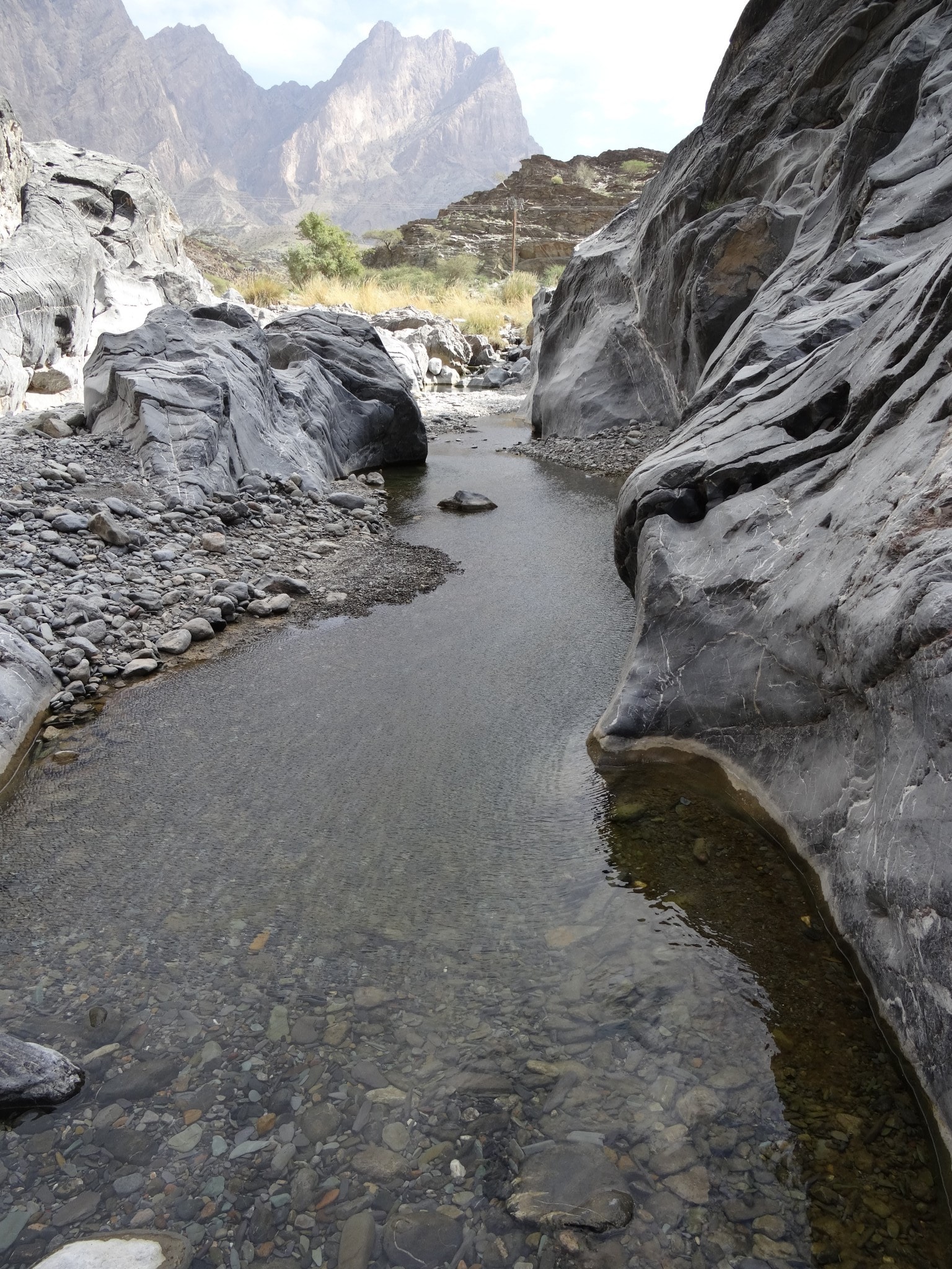
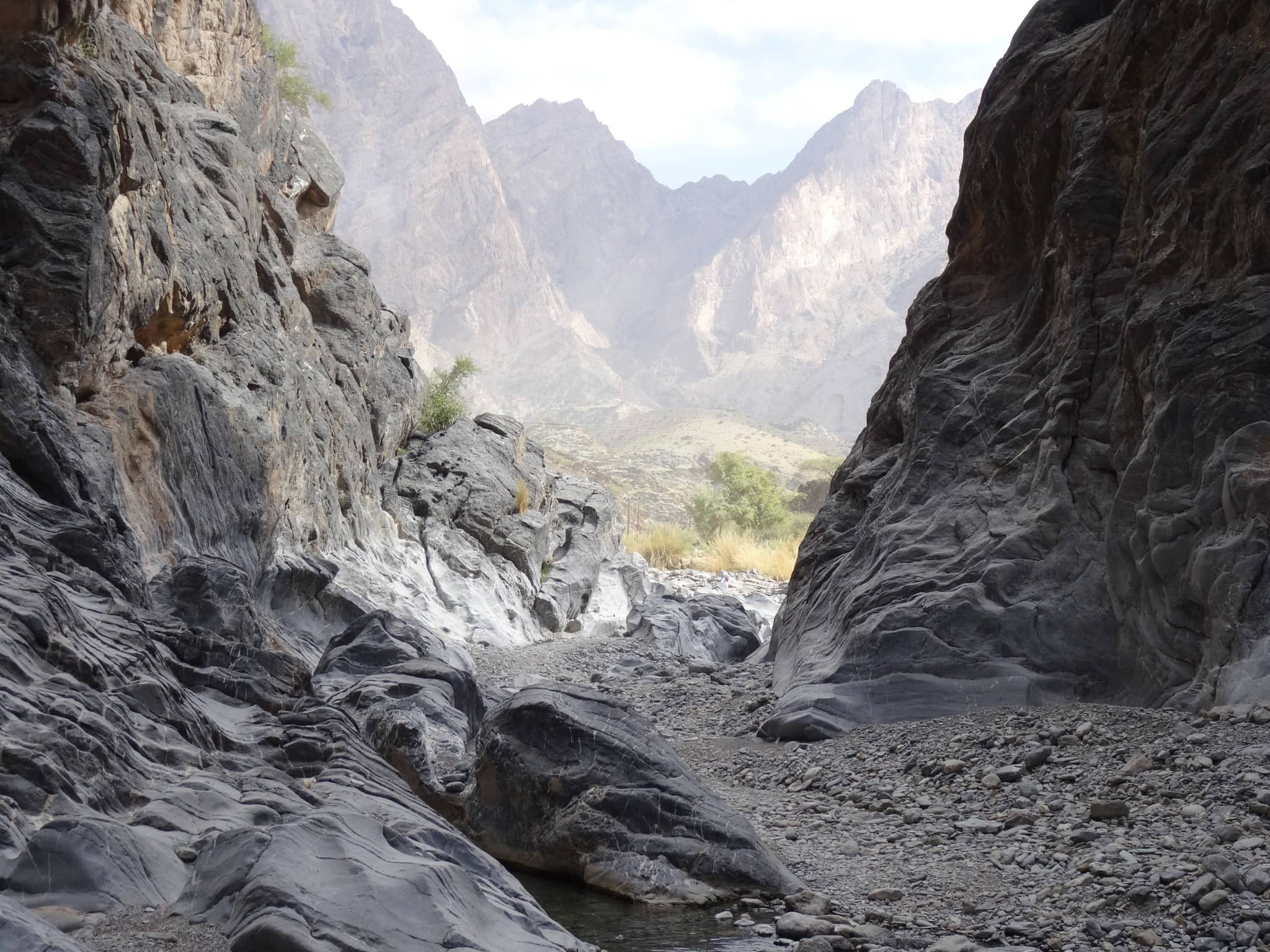
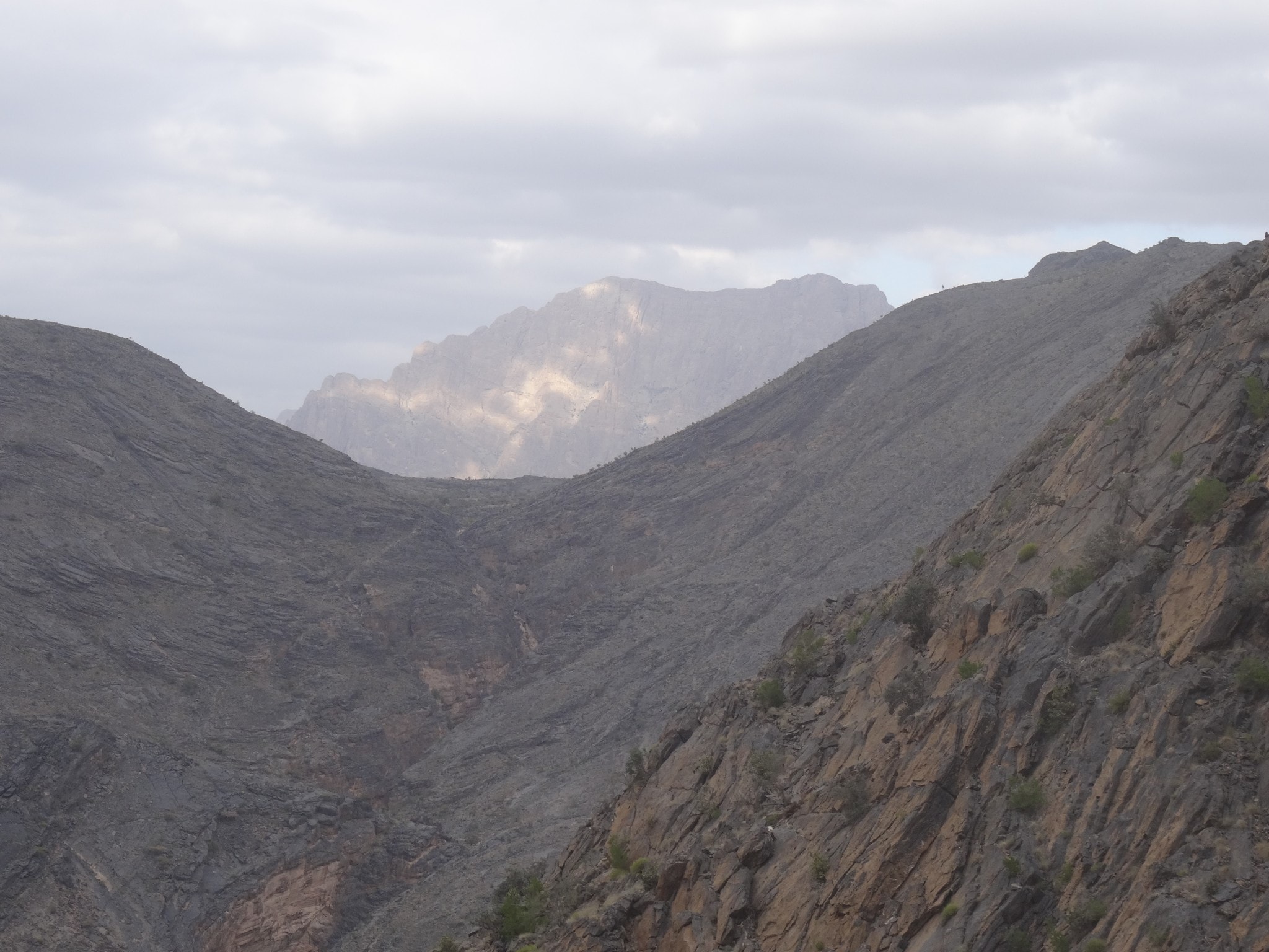
Keep following the road towards the village called Hatt which you will reach after about 13 kilometers. Until this point it’s quite an “easy” drive but very scenic. The drive through the Hajar Mountains is mainly about the views and the thrill of driving the route. It will take another 16 kilometers before you reach Snake Gorge. If you have the time you can make a hike here which is about 4 hours. I walked with my kids for about 30 minutes both ways after which we had lunch there. My wife stayed in the car recovering from the scenic cliff views.

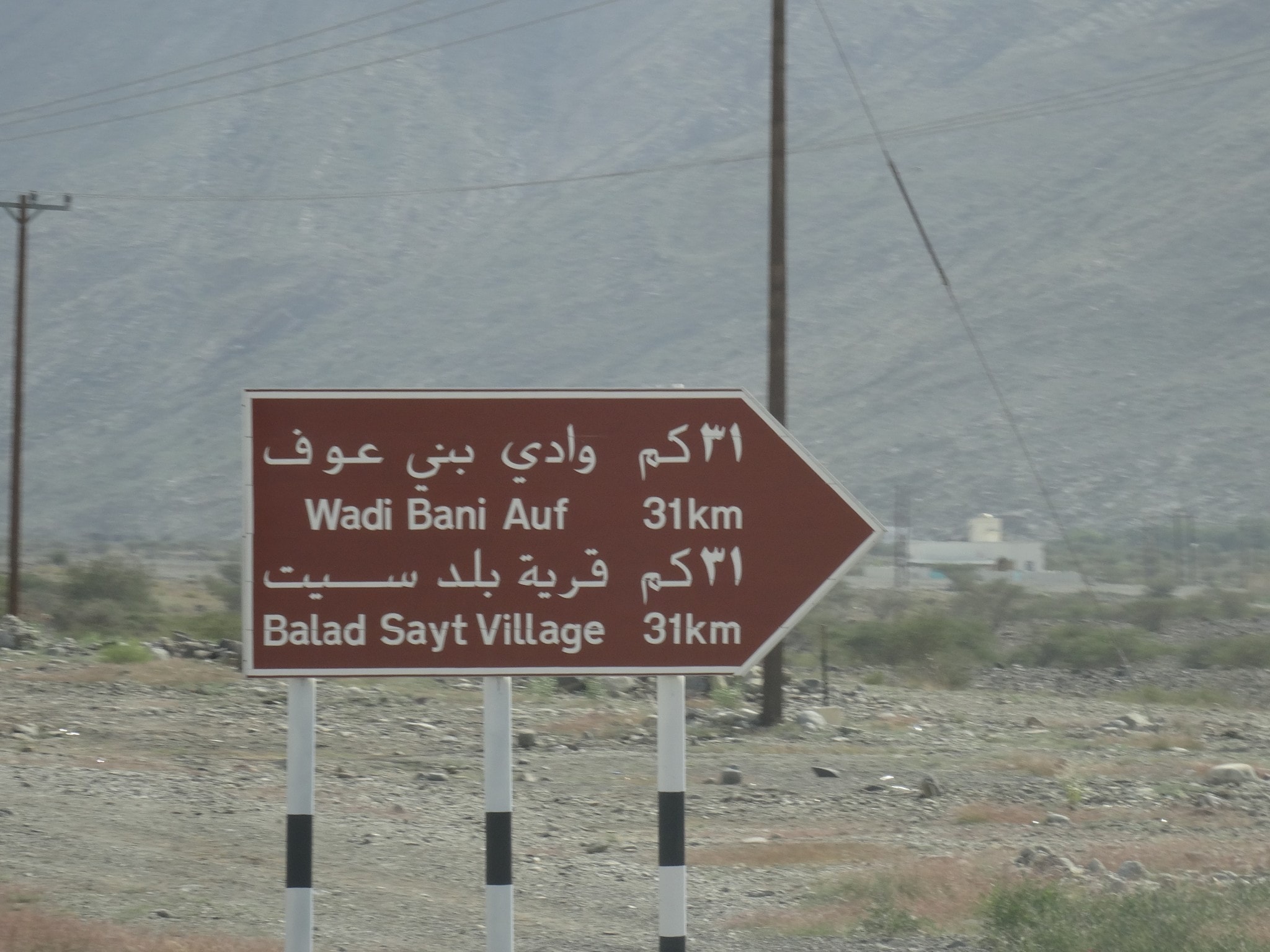
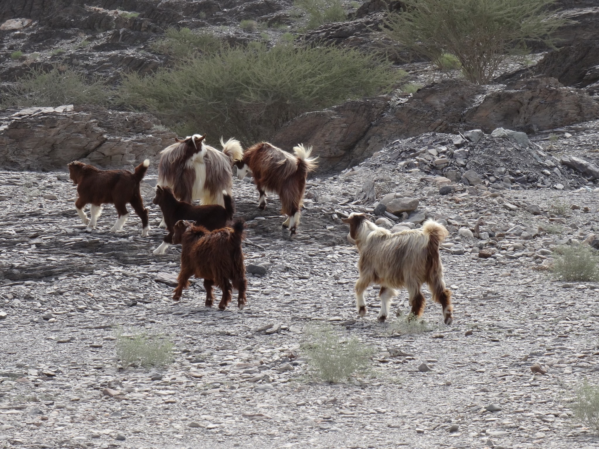
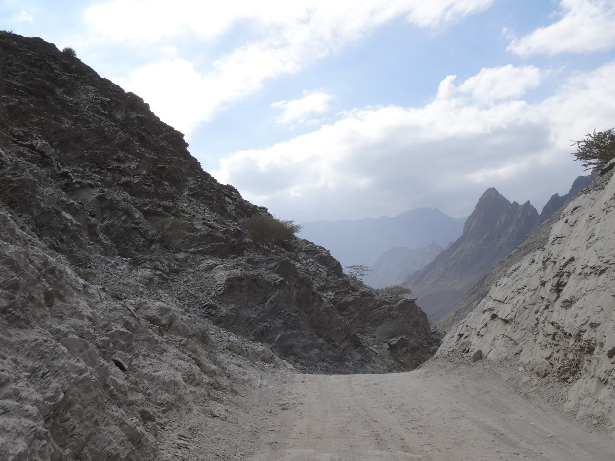
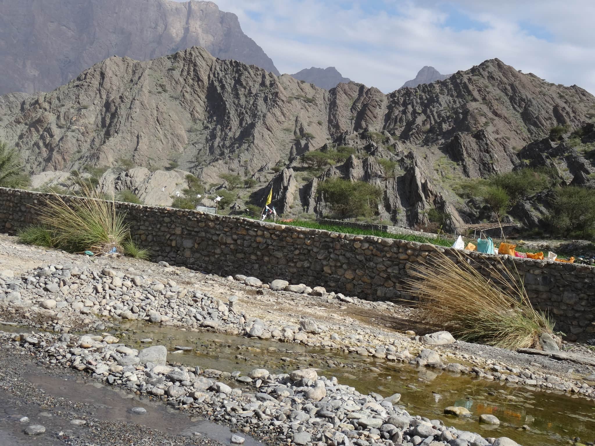
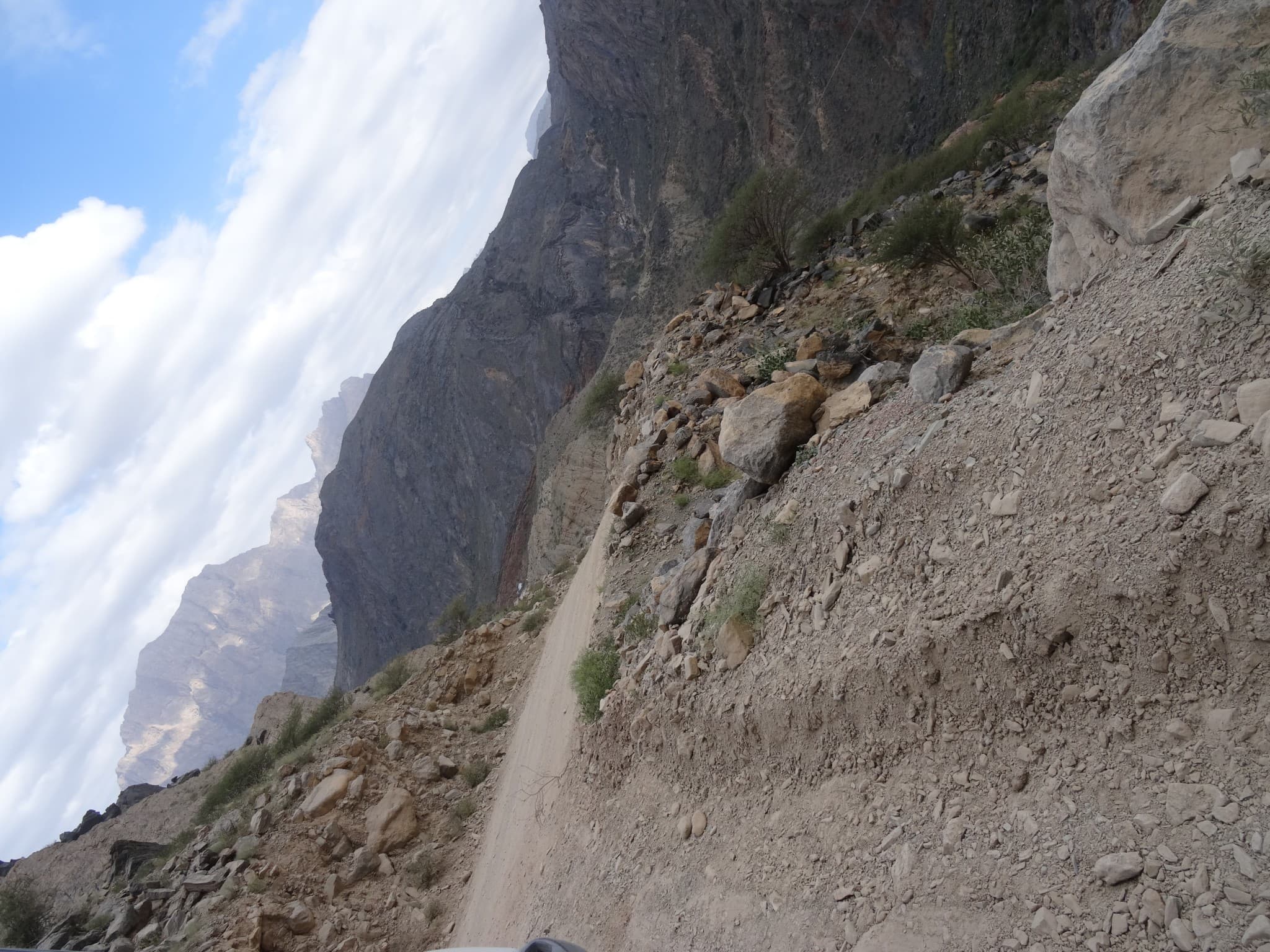
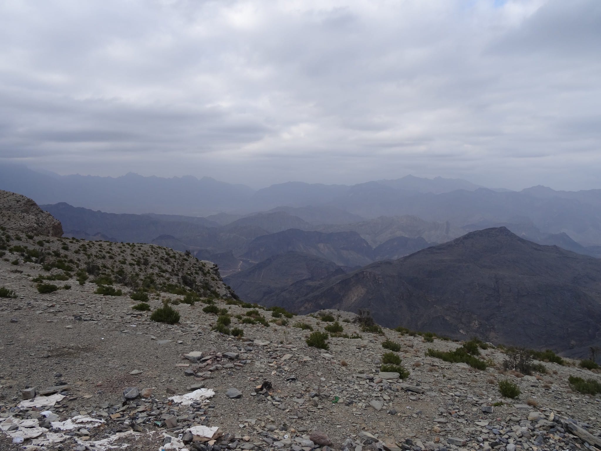
At some point you can take a small detour by going to the right (see GPS map) which is towards the village of Balad Sayt. This is a beautiful town to visit and meet the locals. You can park the car up the road and walk down to the village. At this point the road goes up and down with steep slopes. You do require here the high gear of the 4×4 car. You will pass small water streams in the valleys. If you reach the tops you don’t see where the road goes until you are just over it. Don’t speed there! The last climb towards the top is a long one with many hair pins and is rewarding with beautiful views. At the top you have a beautiful view over the Hajar Mountains.

We didn’t need our spare tire, but we came across two cars with flat tires during our 4-5 hour drive. Once you reach the top there is a 25 kilometer paved road down the Hajar Mountains towards Al Hamra. If I knew before I would have stayed the night at Nizwa as we would go there again the next day. Today we drove back to Muscat which was about 2-3 hours. We reached our hotel late evening. It was a stunning day. Read more about our 10 day Oman itinerary to see what we did the other days in Muscat, Salalah and Duqm. It’s a beautiful country for a road trip!
Stay tuned for more stories and subscribe to the newsletter or follow CTB on social media (Facebook, Twitter, Instagram including Instagram stories; on all social media you can find CTB @christravelblog) to get updated information.
Did you visit Hajar Mountains too or do you have questions? Please leave a comment at the bottom of the page. Love to hear from you!
Gallery Hajar Mountains
Click an image for a full screen gallery of more photos taken during this trip. If you like to use any photo for commercial, private or editorial use please contact first for permission and/or pricing.